 http://www.lacoast.gov/maps/doqq/lamap_for_doqqs2.gif
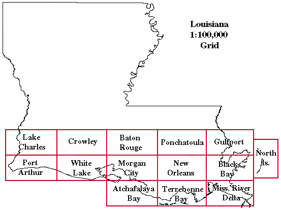
DOQQ's are available in Native and Geotiff formats. Native format quarter quads consist of an ASCll keyboard header followed by a series of 8-bit binary image lines for B/W and 24-bit band-interleaved-by-pixel (BIP) for color. Geotiff is a public domain metadata standard that allows georeferencing information to be embedded within a TIFF file. This is a DOQQ of coastal Louisiana in 1998.
No comments:
Post a Comment