 http://www.solarviews.com/raw/mars/marscyl2.jpg
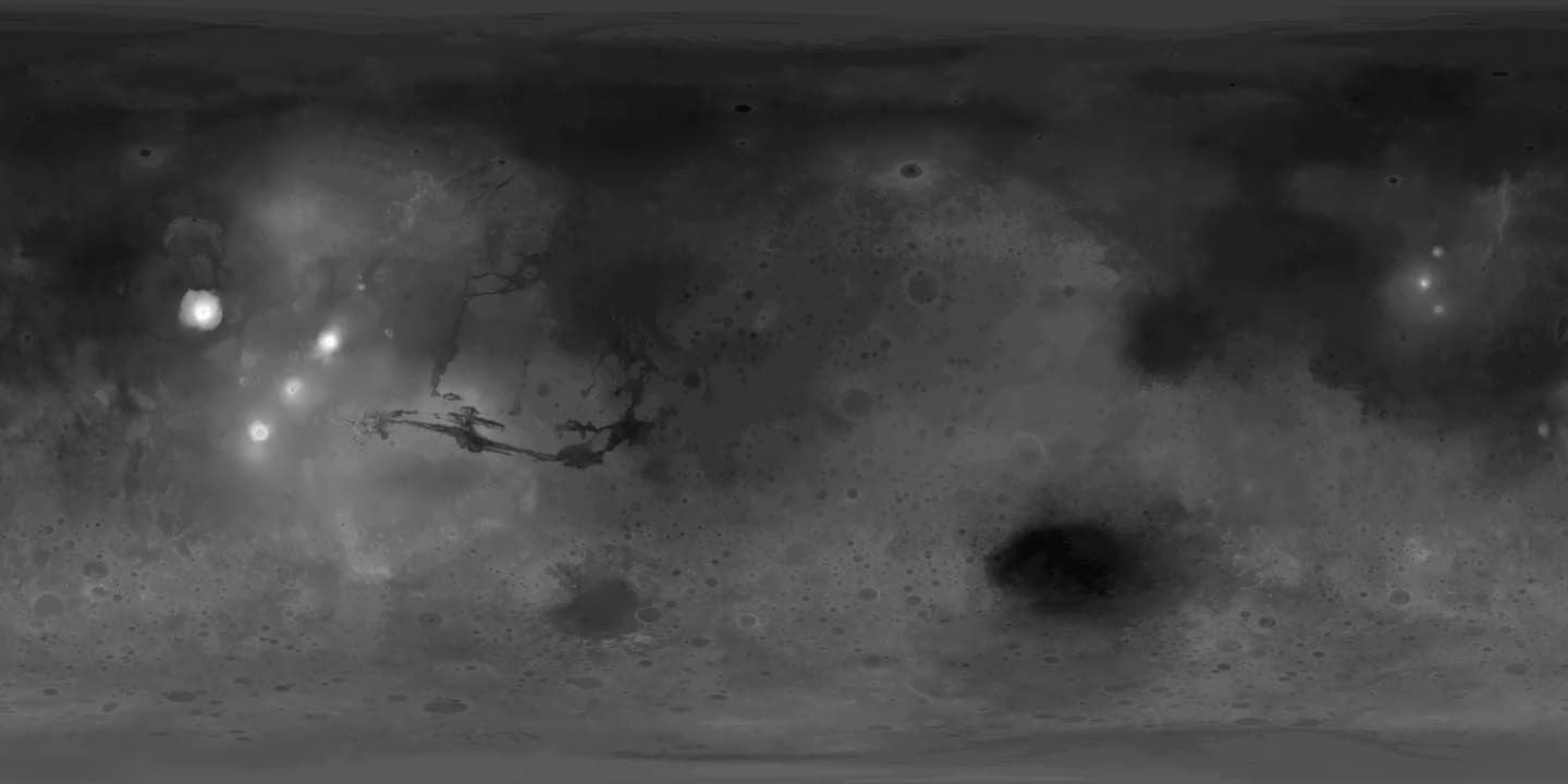
DEM is a digital representation of ground surface topography and/or terrain. They can be represented as a raster or as a triangular irregular network. They are used often in GIS, and are the most common basis for digitally-produced relief maps. This digital elevation map of Mars was produced by the USGS from Viking image data.
No comments:
Post a Comment